Mural Mile
Ten walls, one afternoon. Each mural stamp tells you who painted it, why, and what used to stand there.
- Depot Wall — the 40-foot heron
- Alley of Doors — 12 painted doorways
- Union & 3rd — the rotating wall
Every mural, monument, taco joint and historic corner becomes a waypoint visitors hunt down, learn from, and collect. Quests draw the trail. Stamps mark every place you discover. The city plays itself — in broad, beautiful daylight.

You pick the stops; Waypoints strings them into quests visitors can actually finish in an afternoon. Every stop is a stamp, every stamp is progress, and finished trails unlock district badges and the next chapter.
Ten walls, one afternoon. Each mural stamp tells you who painted it, why, and what used to stand there.
The 1897 fire, the courthouse ghost sign, the corner where the city was signed into being — stamped stop by stop.
Five family spots, five styles, one champion — your vote is the last stamp. Local kitchens watch the foot traffic roll in.
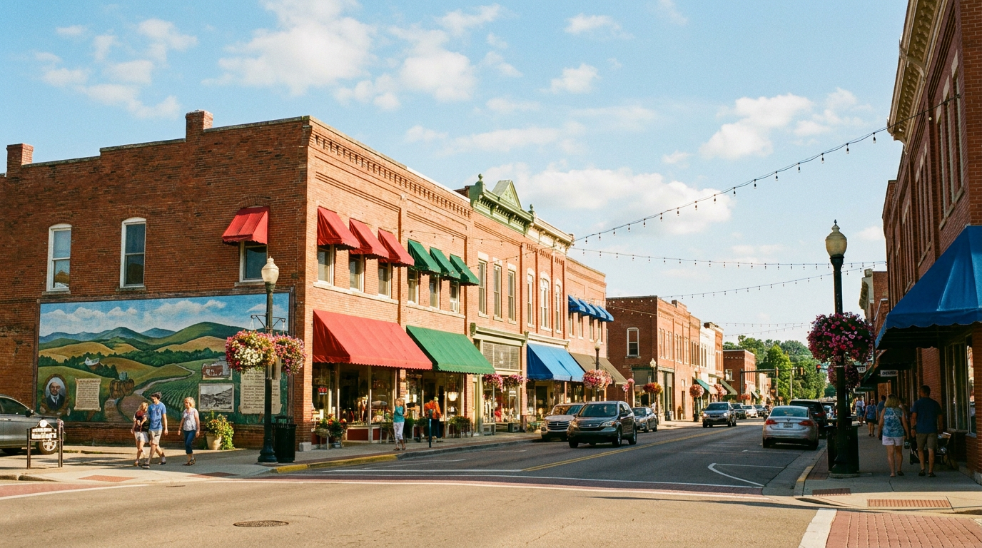 Downtown Main Street — every storefront is a next stop.
Drop a waypoint on a storefront, a mural, a plaque. A visitor points their phone at it and the app opens right there — no store, no download. Here's what they actually see.
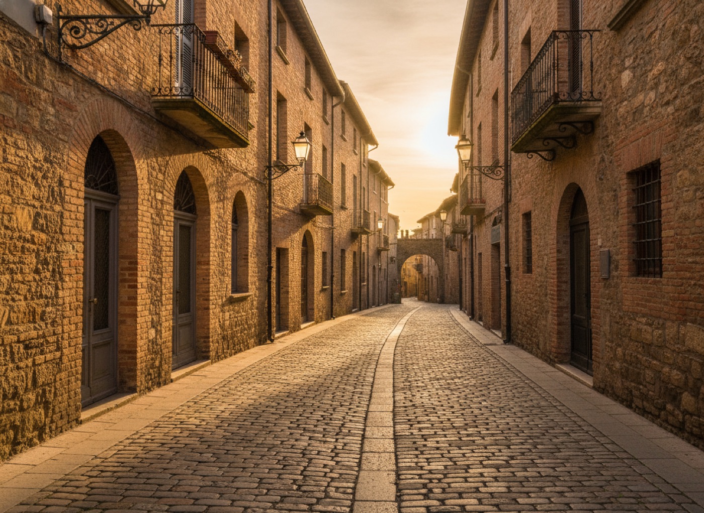
Self-guided tour. Every stop is a stamp; the next one lights up.
Ask the landmark anything. It answers from the stories you gave it — nothing made up.

A visitor stops at a mural, a plaque, a bakery window. That's the moment you own. A waypoint turns "huh, neat" into the next move in the game.
They're photographing the wall anyway. The waypoint tells them the painter grew up two streets over — and that this is stamp 5 of 7.
A bronze plaque nobody reads becomes the best two minutes of the trip — the charter signed here, the fire that missed it by one block.
The smell already drew them. The stamp seals it: Taco Trail walkers hear the story of Marta's family recipe, and she sees exactly how many walked in to find it.
Golden-hour seats, herons on the pilings. The waypoint knows they've collected 6 of 7 — and that the last stamp is a ten-minute stroll along the water.
Historic archives, walking-tour guides, the chamber's business list, last year's brochure PDF. Messy is fine.
Stops, quests, stamps and trail routes are drafted from your material — you edit like a doc, not a database.
Put the waypoint markers where feet already stop — walls, plaques, counters, overlooks.
Visitors scan, collect, and keep walking. Businesses stamp. You watch the trails light up on the dashboard.
Self-serve plans to launch your first trail this week — and district-scale deployments for tourism boards ready to make the entire city playable.
One neighborhood, first trail.
The full discovery game, one district.
Every block, every capability.
For tourism boards, downtown districts and chambers running the game across the whole map — with onboarding, co-design, and a named human.
Multiple districts, unlimited waypoints, more editors, and higher visitor volume.
More districts, higher usage limits, and more editors and analytics.
Unlimited districts, the highest visitor and usage limits, and priority processing.
A district-wide deployment typically runs $2,500–$10,000/month — priced for tourism boards and downtown districts, not per QR code.
Launch the first trail this week — the murals, the monuments, the tacos are waiting.